
The voyage of discovery is not in seeking new landscapes but in having new eyes.
Showing posts with label Around Turin. Show all posts
Showing posts with label Around Turin. Show all posts
Wednesday, 2 March 2016

Sunday, 6 April 2014
A Spring Sunday and the Borgaro-Lanzo bike-way

Today in my usual Sunday bike ride I met this bike-way that starts in Borgaro Torinese and arrives in Lanzo Torinese. I met the first sign indicating the cycling path in Villanova Canavese, while arriving from Cafasse and I tried to follow them.
Sunday, 28 July 2013
Colle della Dieta (Col of Diet)
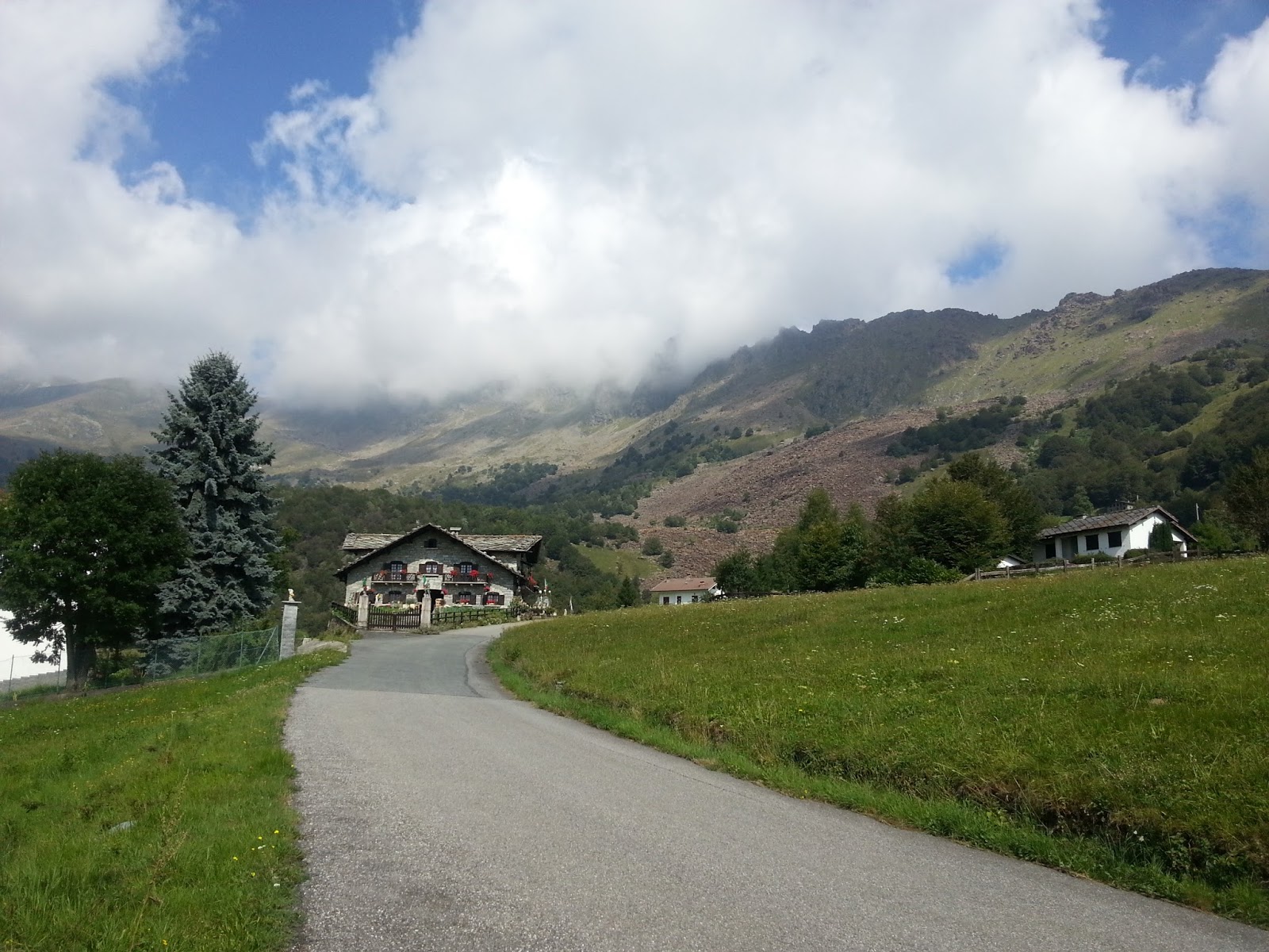
It is not really clear the name of this mountain pass. The Road that connect Mezzenile with Viù in the Lanzo Valleys is apparently called "Colle della Dieta" (that literally means the "Diet Col") at least there is a sign just before the peak that in the small town called Monti. The local people here tell that the road has been paved within the latest 2 years.
Sunday, 28 April 2013
The Hilly area south of Chivasso


Play attention the uphill toward Castagneto Po it is very hard there are some stretches at 14 % inclination.

TRATTORIA BAR IL TAVERNONE
55, Strada Maestra Fr. Vernone 10020 Marentino, Torino. Tel: (011) 943-5091

RISTORANTE MOIA
Via Cocconato, 12 - 14023 - Tonengo (AT)
tel: 0141.908132


Itinerario Proposta 1

GPS Tracking

Total Ascent: 1368 m

Distance: 70.54 Km
Total Ascent: 1213 m

Total Ascent: 1458 m

Total Ascent: 849 m
Friday, 20 July 2012
Torino Hills Routes (From San Mauro T.se)

Route 1: 54.6 Km - Vertical climb: ca 1160 m
Route 2: 63.3 Km -Vertical climb: ca 1280 mRoute 3: 71.9 Km - Vertical climb: ca 1420 m
Route 1
San Mauro, Castiglione Torinese, Cordova, Baldissero Torinese, Valle Ceppi, Pino Torinese, Pecetto Torinese, Revigliasco, Colle Della Maddalena, Eremo, Panoramica di Superga, Rivodora, San Mauro Torinese.
- Distance: 54.6 km
- Total vertical climb: ca. 1160 m
- Inclination: Hilly
- Surface: Paved
Route
View Route: Torino Hill (From San Mauro) Training 1 in a larger map
Altimetric Profile
GPS Tracking
http://www.endomondo.com/workouts/vNJv-Dyf8Gw
http://www.endomondo.com/workouts/qaUYKrERTW8
Route 2
San Mauro, Castiglione Torinese, Cordova, Pavarolo, Tetti Berruto, Baldissero Torinese, Valle Ceppi, Pino Torinese, Pecetto Torinese, Revigliasco, Colle Della Maddalena, Eremo, Panoramica di Superga, Rivodora, San Mauro Torinese.
From SanMauro get the SS590 up to Castiglione Torinese, turn right direction Chieri in the roas called Strada della Rezza. After about 1 Km turn left in direction Cordova.After Cordova at the junction go straight toward Pavarolo continuing the uphill. After passing Pavarolo the road goes to connect again to Strada della Rezza, about 200 meters before this connection turn right, it is a small asphalt road that ends up in another bigger road coming from Chieri. At this juction turn right direction Baldissero Torinese.
- Distance: 63.3 km
- Total vertical climb: ca. 1280 m
- Inclination: Hilly
- Surface: Paved
View Route: Torino Hill (From San Mauro) Training 2 in a larger map
Altimetric Profile

Tour 3
- Distance: 71.9 km
- Total vertical climb: ca. 1420 m
- Inclination: Hilly
- Surface: Paved
 Take the SS590 up to Gassino at the roundabout get the first road on
your right toward Cinzano, Sciolze Bussolino. In the area Molinasso turn
left toward Rivalba and Castagneto Po. Once in Castagneto Po' follow the signs for Casalborgone. In Casalborgone take the SP458 direction Cocconato and Asti. At the top of the uphill you'll find the sign Aramengo but we don't have to turn left for the village and continue on SP458 up to the indication for Albugnano.
Take the SS590 up to Gassino at the roundabout get the first road on
your right toward Cinzano, Sciolze Bussolino. In the area Molinasso turn
left toward Rivalba and Castagneto Po. Once in Castagneto Po' follow the signs for Casalborgone. In Casalborgone take the SP458 direction Cocconato and Asti. At the top of the uphill you'll find the sign Aramengo but we don't have to turn left for the village and continue on SP458 up to the indication for Albugnano.
View Route: Torino Hills (From San Mauro) Training 3 in a larger map
Altimetric Profile

GPS Tracking
http://www.endomondo.com/workouts/kTk9cCH5GLk
Tuesday, 19 June 2012
Colle Del Lys Tour

Monday, 11 June 2012
Torino Tour completed


Thursday, 31 May 2012
Torino Tour
The Tour: Torino P.za Massaua, Pianezza, San Gillio, La Cassa, Fiano, Robassomero, San Maurizio, Leini, Settimo, Castiglione, Rivodora, Parco Naturale Della Collina di Superga, Pino Torinese, Colle Della Maddalena, Moncalieri, Nichelino, Borgaretto, Beinasco, Orbassano, Grugliasco, Torino P.za Massaua
 The tour starts from west part of the city in Piazza Massaua, but it can
begin wherever in the city depending on where you stay. The idea is to
plan a long ride without moving too much from the city. the track is
partially hilly and partially flat. I think this route it can be good
for long distance training without being too far from the city.
The tour starts from west part of the city in Piazza Massaua, but it can
begin wherever in the city depending on where you stay. The idea is to
plan a long ride without moving too much from the city. the track is
partially hilly and partially flat. I think this route it can be good
for long distance training without being too far from the city.
 Once you are in the Superga Park
don't forget to take a break in the Panoramix kiosk. It is a peculiar place; very
few kilometres away from the city centre anyway you have the feeling to be somewhere
else, a very relaxing and quite place where have a drink and snack.The owner is very friendly and you can have occasion quite easily to socialize with many riders, who stop there for tha same reason.
Once you are in the Superga Park
don't forget to take a break in the Panoramix kiosk. It is a peculiar place; very
few kilometres away from the city centre anyway you have the feeling to be somewhere
else, a very relaxing and quite place where have a drink and snack.The owner is very friendly and you can have occasion quite easily to socialize with many riders, who stop there for tha same reason.
There are of course several alternative slternatives, I just propose the following one:

Alternative 1: In starda borgaretto crossing Strada Torino is possible go straight and continue on the cycling path along Sangone river, instead of turning left to Strada Torino.
Alternative 2: On the way down from Colle della Maddalena instead going directly to Moncalieri take the way to Revigliasco and then go to Moncalieri where continue the tour.
Overall Route
Altitude Profile

- Distance: 113.9 km
- Total vertical climb: ca. 1000 m
- Inclination: Partly hilly - partly flat
- Surface: Paved

There are of course several alternative slternatives, I just propose the following one:

Alternative 1: In starda borgaretto crossing Strada Torino is possible go straight and continue on the cycling path along Sangone river, instead of turning left to Strada Torino.
Alternative 2: On the way down from Colle della Maddalena instead going directly to Moncalieri take the way to Revigliasco and then go to Moncalieri where continue the tour.
Show Route: Around Torino tour in a bigger map
Altitude Profile
Sunday, 6 May 2012
Happy Birthday Sister


Route
Thursday, 26 April 2012
The 2012 training is slowly starting

The itinerary initially chosen was even more difficult, but
unfortunately I had to face to my actual training that currently does not allow
me yet to enjoy such a long ride, so I had to cut it. It was foreseen after
back to Superga to take Valle Ceppi and then from Colle Della Maddelena going
back to Torino via San Vito. Anyway the plan was almost
completed. Next time ... training is just at the beginning…

Thursday, 15 March 2012
A quite winter ride


Altimeter Profile

Sunday, 26 February 2012
Pinarello Rokh testing

Subscribe to:
Posts (Atom)